搜索结果: 1-15 共查到“工学 Risk”相关记录310条 . 查询时间(0.109 秒)


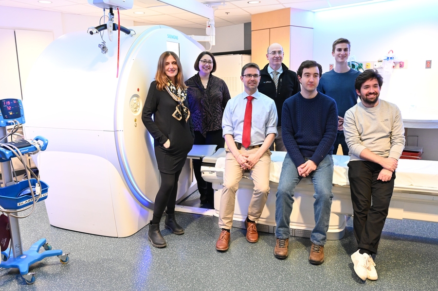
MIT researchers develop an AI model that can detect future lung cancer risk(图)
人工智能模型 检测肺癌风险 深度学习
2023/6/20

1D-2D MODELING OF URBAN FLOODS AND RISK MAP GENERATION FOR THE PART OF HYDERABAD CITY
Stormwater Urban Flood Modeling Zone XIII SWMM PCSWMM
2019/2/27
Space for water is now becoming guiding principle of urban planning because urban flooding is the major problem facing by most of the cities in India. Urban development in developing countries like In...
MODELING OF PARAMETERS FOR FOREST FIRE RISK ZONE MAPPING
Criteria Based Weight Risk Zonation Fire sensitivity Topographic map AHP
2019/2/27
Forest fire has been regarded as one of the major reasons for the loss of biodiversity and dreadful conditions of environment. Global warming is also increasing the incidence of forest fire at an alar...
FLOOD RISK ASSESSMENT OF RIVER KABUL AND SWAT CATCHMENT AREA: DISTRICT CHARSADDA, PAKISTAN
Hazard, Vulnerability, Risk, Geographical information system (GIS), Remote sensing (RS), Disaster risk reduction (DRR), Participatory rural appraisal (PRA) tools, Weighted overlay
2018/11/8
Pakistan is prone to natural hazards including floods, in particular, affecting millions of people each year across the country. Patterns from recent years suggest the intensity of flooding are increa...
HIGH-LEVEL-OF-DETAIL SEMANTIC 3D GIS FOR RISK AND DAMAGE REPRESENTATION OF ARCHITECTURAL HERITAGE
Cultural Heritage Semantic 3D Model Database
2018/11/9
The need to share information about architectural heritage effectively after a disaster event, in order to foster its preservation, requires the use of a common language between the involved actors an...
2019年“一带一路”防灾减灾与可持续发展国际研讨会通知(1st-Announcement of International Conference on Silk-roads Disaster Risk Reduction and Sustainable Development May, 2019, Beijing, CHINA )
2019年 一带一路 防灾减灾 可持续发展 国际研讨会 通知
2018/7/31
The Silk Road Economic Belt and the 21st Century Maritime Silk Road (simply called “the Belt and Road” or “Silk roads”) covers more than 70 countries and 4.4 billion people (63% of the world). Due to ...
CITY-LEVEL ADULT STROKE PREVALENCE IN RELATION TO REMOTE SENSING DERIVED PM2.5 ADJUSTING FOR UNHEALTHY BEHAVIORS AND MEDICAL RISK FACTORS
PM2.5 stroke remote sensing health effect air pollution
2018/5/14
This research explores the use of PM2.5 gird derived from remote sensing for assessing the effect of long-term exposure to PM2.5 (ambient air pollution of particulate matter with an aerodynamic diamet...
STUDY ON ECOLOGICAL RISK ASSESSMENT OF GUANGXI COASTAL ZONE BASED ON 3S TECHNOLOGY
Coastal Zone Landscape Pattern Ecological Risk Remote Sensing Geographic Information System
2018/5/17
This paper takes Guangxi coastal zone as the study area, following the standards of land use type, divides the coastal zone of ecological landscape into seven kinds of natural wetland landscape types ...
Dynamic assessment of pollution risk of groundwater source area in Northern China
Dynamic Groundwater pollution risk assessment Groundwater source area
2018/3/23
Based on the dynamic analysis and research of pollution risk of groundwater sources, this paper creates the dynamic assessment method of pollution risk of groundwater source area under the theory of “...
USE OF MULTIVARIATE MACHINE LEARNING ANALYSIS TECHNIQUES FOR FLOOD RISK PREVENTION
flood risk data Machine Learning Prediction
2018/4/18
Natural disasters such as flood are regarded to be caused by extreme weather conditions as well as changes in global and regional climate.
The prediction of flood incoming is a key factor to ensure c...
INFORMATION SYSTEM FRAMEWORK FOR INTEGRATED RISK ASSESSMENT FROM NATURAL DISASTERS
Information system Risk assessment Risk identification Risk analysis Risk evaluation GIS Natural disasters
2018/4/18
In recent years around the world, and in particular in Bulgaria, there is a reported increase in the number and intensity of disasters caused by natural phenomena. An increase is observed in the adver...
INTEGRATION OF TERRESTRIAL AND UAV PHOTOGRAMMETRY FOR THE ASSESSMENT OF COLLAPSE RISK IN ALPINE GLACIERS
Forni Glacier Glaciology Photogrammetry Structure-from-Motion UAV/UAS
2018/4/18
The application of Structure-from-Motion photogrammetry with ground-based and UAV-based camera stations can be effectively exploited for modeling the topographic surface of Alpine glaciers. Multi-temp...
USE OF MULTIVARIATE MACHINE LEARNING ANALYSIS TECHNIQUES FOR FLOOD RISK PREVENTION
flood risk data Machine Learning Prediction
2018/5/8
Natural disasters such as flood are regarded to be caused by extreme weather conditions as well as changes in global and regional climate.
The prediction of flood incoming is a key factor to ensure c...


